Not only causing erosion, unsustainable sand mining is affecting the Mekong ecosystem and threatening the stability of local people’s livelihoods and global food security. Sand licenses are being issued without a sound understanding of the sand stocks available and replenishment rates. The resulting over-extraction and depletion of fossil sand stocks in turn lead to river bed incision, bank erosion and land subsidence. However, sand is such a critical material for infrastructure development that the authorities are now stuck between sand demand for infrastructure development and the delta sustainability. “Understanding the quantities of sand entering the head of delta and sand flowing from the apex of delta to the river mouths in this case is vital for policy makers in river sand management.” Ha Huy Anh, Project Manager of the IKI-funded Sustainable Sand Management Project (IKI SMP), responded in an interview with Thanh Nien Newspaper about this lasting sand paradox in the Vietnamese Mekong Delta (VMD).
Implemented by the World Wide Fund for Nature (WWF) in collaboration with a wide array of partners, the project establishes a delta-wide sand budget for the VMD region, estimating the difference between the volume of river sand transported from upstream to the head of the delta, the amount of sand extracted within the delta, and the amount of sand discharged to the sea in the year of 2022 with a vision to 2030 and 2050. By the end of April, the dry season monitoring campaign for this first-ever sand budget for the delta had successfully been completed after repeated delays because of the Covid-19 pandemic. Two rounds of multiple-beam surveys tracked the sand dune movement in four monitoring sites (My Thuan, Can Tho, Chau Doc and Tan Chau) . In addition, the profile of over 535 km of Tien and Hau river bottom was recorded in order to estimate the sand stock under the riverbed. The campaign accumulated data of water level, discharge, suspended load, and riverbed samples. Combined with satellite image analysis, the collected data will be analysed and, in turn, provide the inputs to run and calibrate the sand transport model called Delft3D Flexible Mesh Suite (Delft3D FM). This will provide the initial results of the delta-wide sand budget.
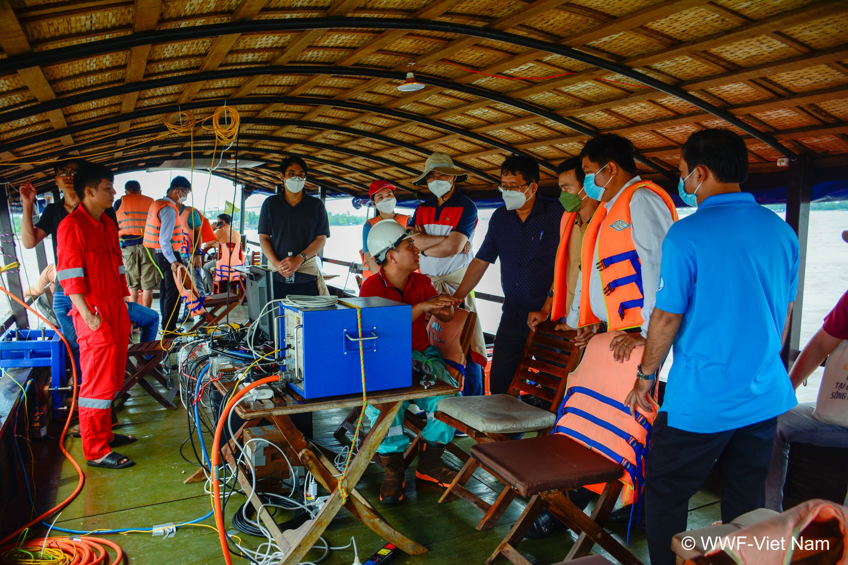
This monitoring campaign was accompanied by a training workshop for 20 technical staff from MONRE, MARD, provincial DONREs, DARDs and PPCs of 9 provinces and cities in the Vietnamese Mekong Delta. Through the training, the capacity of the technical staff on sediment monitoring improved significantly from 50 percent of the participants having no familiarity with these subjects prior to 100 percent confirming better understanding after and interested in further training to improve their skills and knowledge in sediment monitoring.
The sand budget and its ‘sibling’, the River Geomorphological Stability Plan (RGS Plan), will aid decision-makers in adjusting extraction targets and the competent authorities in identifying particular erosion-prone areas when issuing sand mining licenses. Following the wet season monitoring, due to take place between August and October 2022. The first progress workshops will be held in in July, reporting the initial results with the participation of competent authorities and other stakeholders.
More information on the project on the IKI website
Pictures:
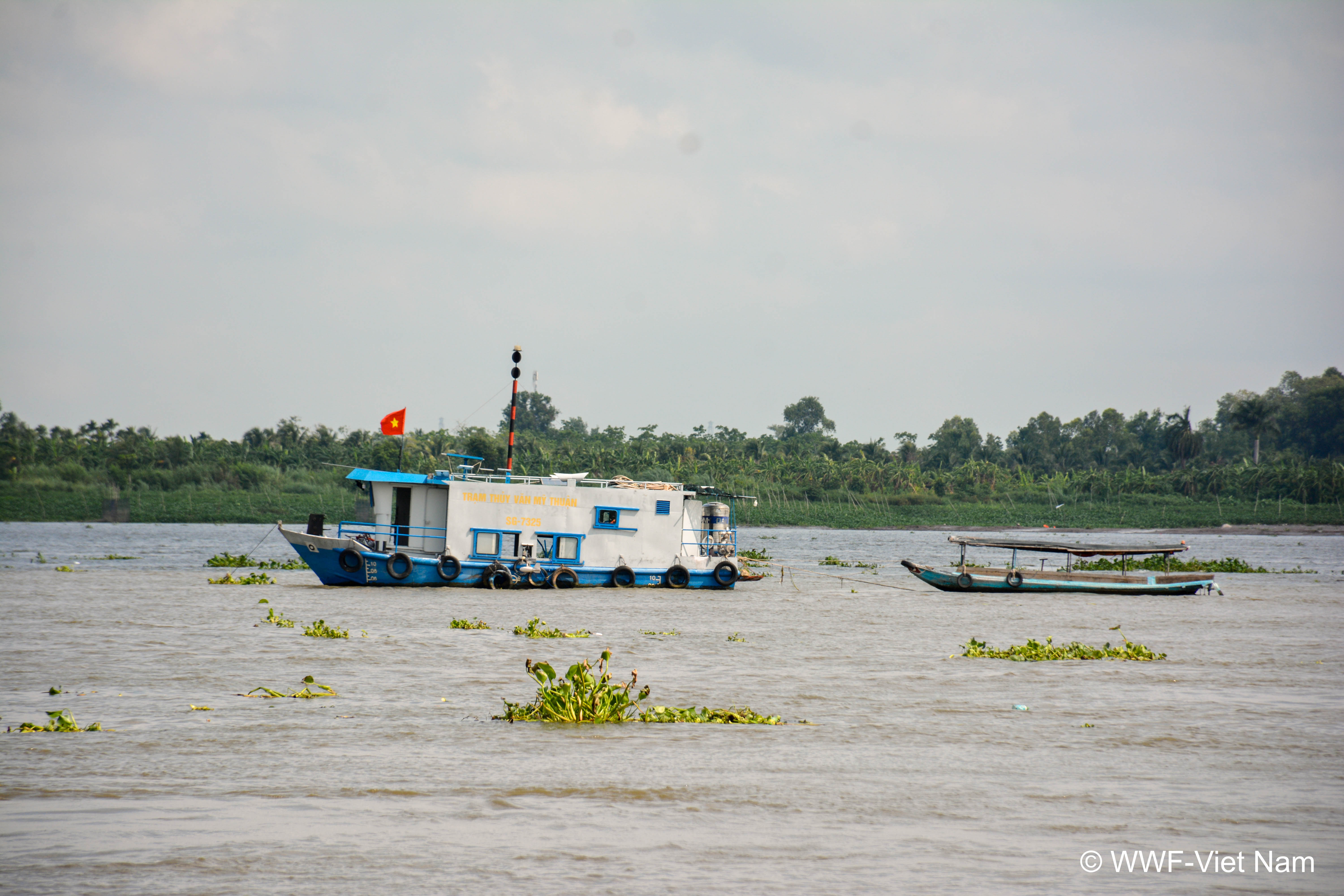
1- My Thuan Hydrology Station
2- Participants learn about sediment monitoring method on Mekong River
*** MONRE: Ministry of Natural Resources and Environment
*** MARD: Ministry of Agriculture and Rural Development
*** DoNRE: Department of Natural Resources and Environment
*** DARD: Department of Agriculture and Rural Development
*** PPC: Provincial People Committee


